A circular walk around Chosen Hill
From Hucclecote Parish Council
Chosen Hill is on the edge of Hucclecote Parish Council’s patch, and it’s a wonderful area with scores of fantastic walks.
The top of the Hill used to be an iron age fort (and you can still see signs of the embankments on the northern side of the hill). St Bartholomew’s Church – which perches on the Churchdown side at the top – is medieval in origin (bits of it date from the 12th century).
On the western side, overlooking Hucclecote the area known as the Soldiers Walk is reputed to have been used as an outpost for the Royalist army during the siege of Gloucester in 1643.
In Edwardian times there were two tea houses on the hill (as refreshment stops for people who walked the hill). And then there’s Mussel Well (sometimes called Roman Well), and the legend that goes with it about fairy processions.
The Hill is also awash with wildlife, including foxes, deer, badgers, a wealth of birdlife and in the summer months there are several species of orchid (best seen on the areas known as The Tumps).
Part of the hill is now run as a Nature Reserve and most of the wooded areas are managed by the Woodland Trust.
This two mile walk runs around the lower reaches of the hill. It is a fairly easy and takes in open fields and woods. There are a few stiles along the way, and in winter it can get muddy (and very slippery), so boot-up and bring a walking stick if you have one. If you’re in a rush you can do the walk in just over half an hour; if you want to wander along gently allow an hour.
The area is good foraging -especially blackberries in late summer/early autumn.
Those of you who are feeling fit can stroll to the start of the walk at the top of Stump Lane – from Hucclecote Road it will take about 20 minutes. If you want to drive to the start then head up Stump Lane, past the house with the big gates, and then park, on the left just before the sharp left hand turn (before the sign saying ‘Private Road’). There’s a big layby here that can take two or three cars, but be warned that further back down the lane the verges are very soggy/boggy.
Directions from the top of Stump Lane
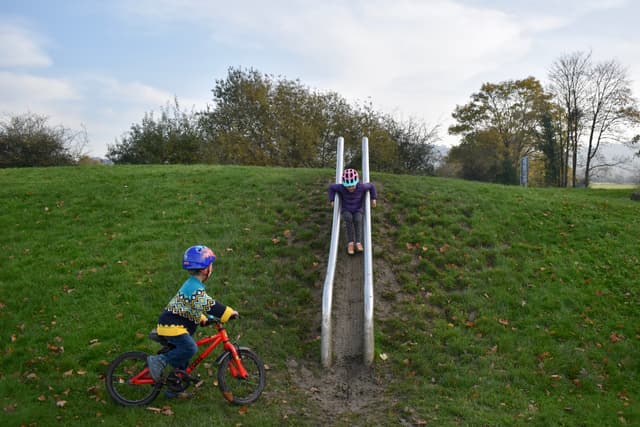
- Once you’ve parked head along Stump Lane (it’s a public footpath). After about 200m you’ll see a path to the right that leads up to The Tumps. If you fancy a detour head up here to admire the view.
- Continue along Stump Lane, pass the house with the strange sign (it spells the name of the house if you stand in the gateway), and then look out for the gigantic golden egg in its nest (on the left a bit further on)
- You’ll then come to a row of four houses – walk past these to the very end, and over the stile on the right. Continue along the path for about 100m (don’t go up or down the intersecting paths). You’ll then come to a fork in the path, take the path to the left that passes through a wide gateway, veers a little to the right (past a spring on the right) and then continues gentle downwards through a wood.
- This section is about 400-500m long. At the end of the gently descending path you need to veer right, and you will then pop out in a grassy area. Look out for the bridge over the stream (made from railway sleepers). Head over this and continue for another 200m or so, over the stile, next the gate.
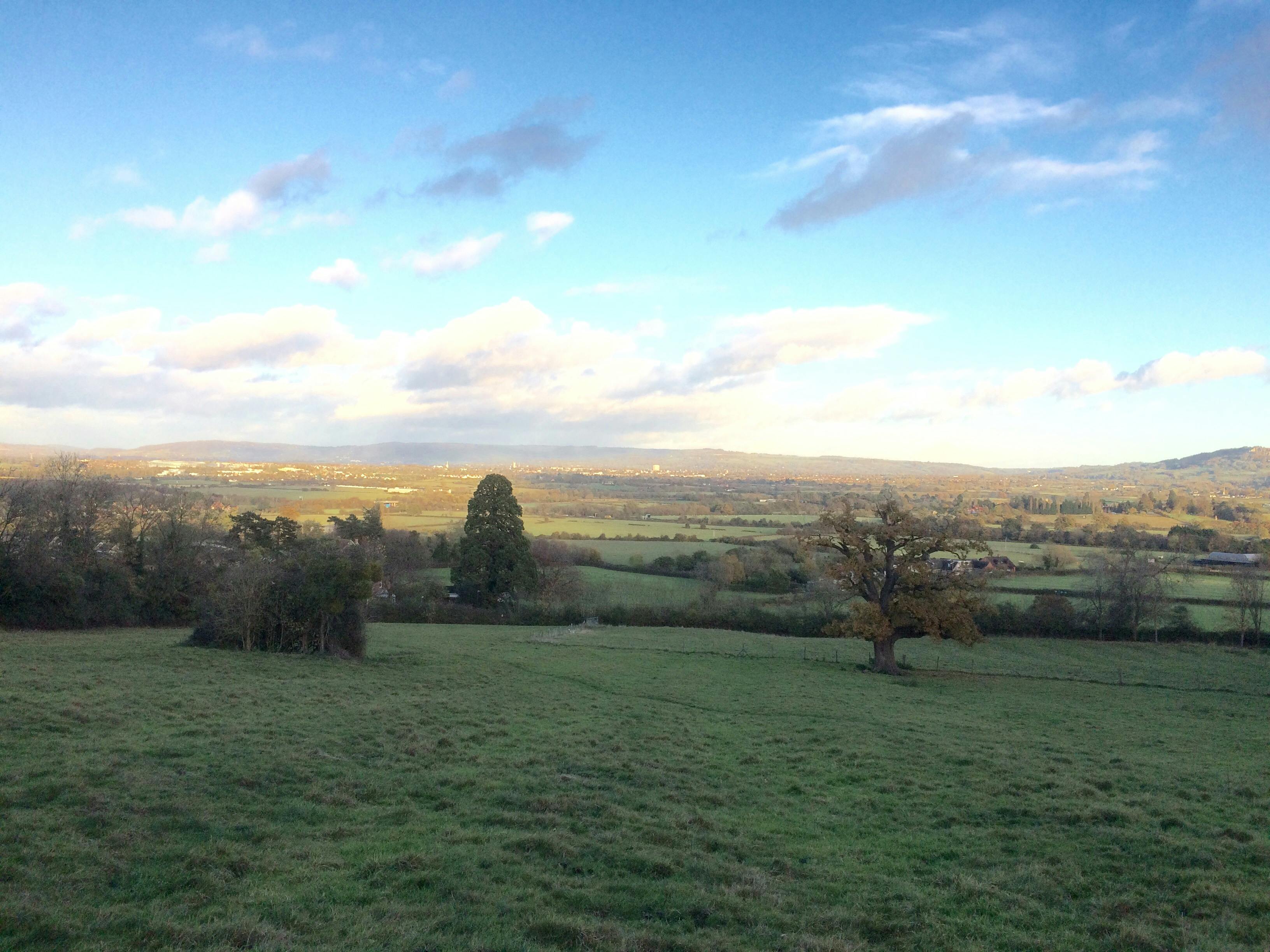
- You should now be in a large field with distant views of the Malverns on your left (and Staverton airport and Churchdown in the near distance). Follow the path across this field, over the stile, and then veer to the right once you are in the next field. (There’s a stile in the corner that then leads to a cluster of houses on the edge of Churchdown)
- Follow the lane past the green on your right, and then head up towards the church, but don’t go beyond the corner that turns sharply to the right. There’s another stile here (on your left), take it and then head gently upwards and across the big field. After a few hundred meters the path follows the end of the gardens of a row of houses, and then leads to another stile.
- Follow the path gently upwards across the next field; there’s another stile in the corner that will take you into a third field (don’t take the stile near the stable that leads onto the lane)
- The path now levels out, and you should be able to follow it to the next stile, that then takes you into a wooded area (this wood is wonderful in the spring as its awash with bluebells). Once over the stile head to the left up the path through the wood.
- After 200-300m the path dips and then splits. Don’t go straight on over the stile into the field; instead go right about 20m before the stile. Follow this for about 100m, then veer left, under the tree, then right and the path with then gently descend through the Chosen Hill Nature Reserve to the gate near the parking area at the top of Stump Lane.
Opening Hours
| Monday | Open |
| Tuesday | Open |
| Wednesday | Open |
| Thursday | Open |
| Friday | Open |
| Saturday | Open |
| Sunday | Open |